PRODUCTS
SafeCity Software Solutions
SafeCity Dispatch
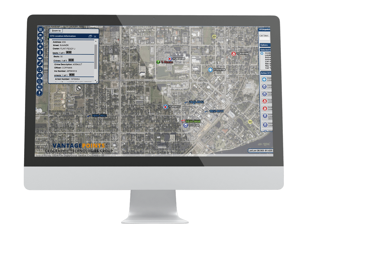
SafeCity Dispatch is a Computer Aided Dispatch (CAD) mapping interface that provides E-911 dispatchers with an interactive map displaying the location of all emergency calls. SafeCity Dispatch uses the latest and most innovative technology to connect to your CAD data and provides a simplified setup and administrative interface. Mission critical data such as CFS, Phase I and II Calls, AVL, GIS Data, Hotlinks, Historical Database Integration, are all available in an easy to use interface.
SafeCity Crime Analysis
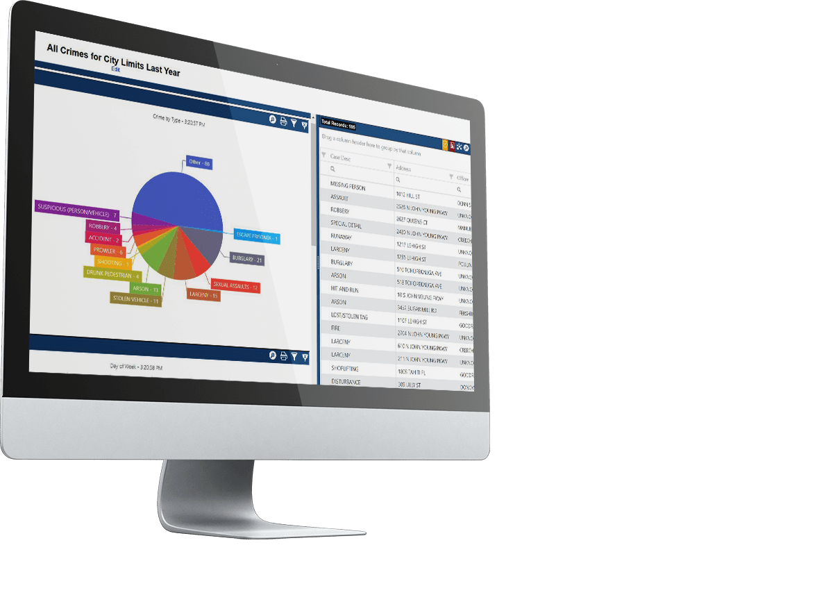
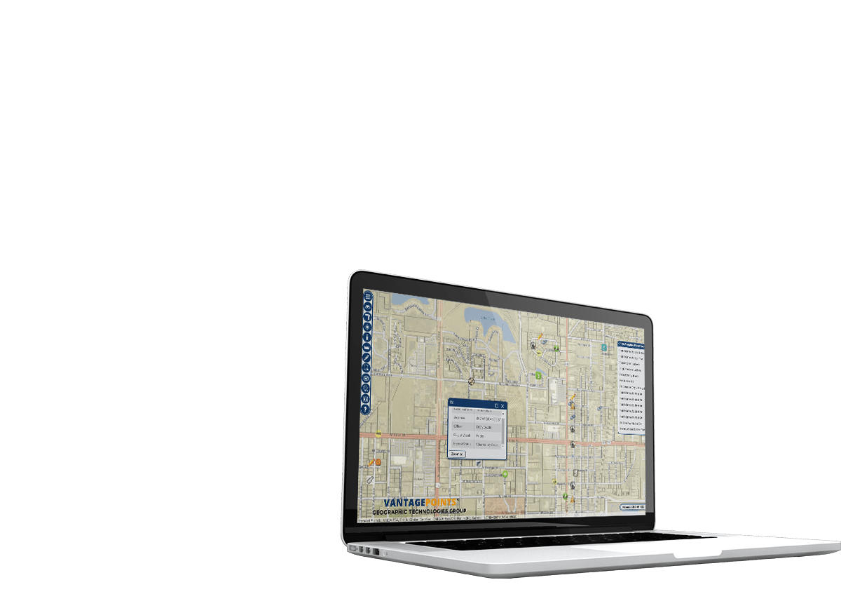
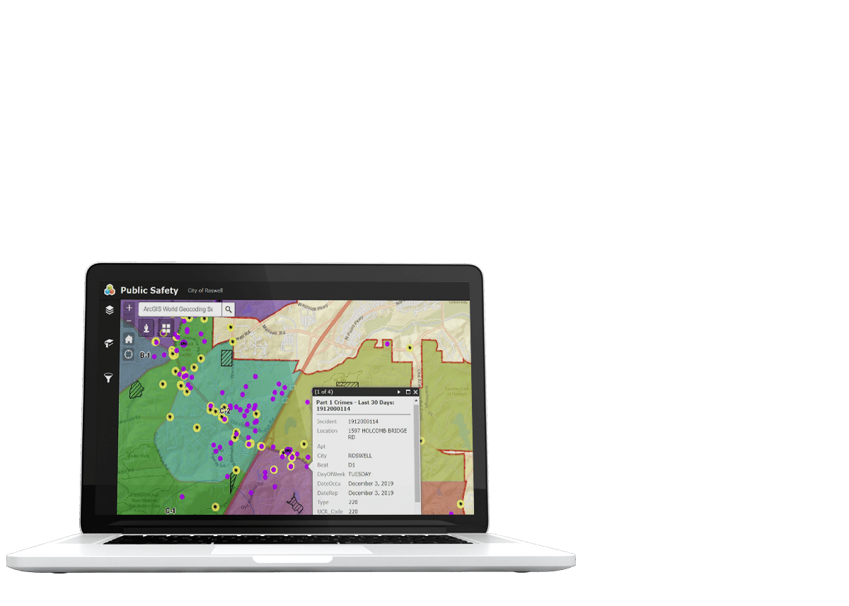
SafeCity Crime Analysis is an easy-to-use crime reporting, mapping and analysis software application designed for towns, cities, and counties of all sizes and complexities. SafeCity Incident Analysis aids in the visualization and analysis of law enforcement and fire incident information and enables auto¬mated mapping of incident addresses and call information, as well as dynamic query and browse capabilities that make crime and fire reporting and hot spot analysis easy. Identifying the spatial distribution of crime and fire records will allow for the maximized use of departmental assets and will satisfy the ever-growing demand for critical services. Police, Sheriff and Fire departments can leverage and integrate available GIS datasets into their report datasets and perform spatial analysis, reporting and visualization of current data by attribute.
SafeCity Mobile
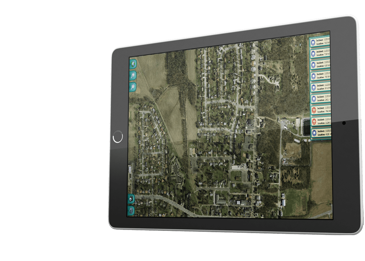
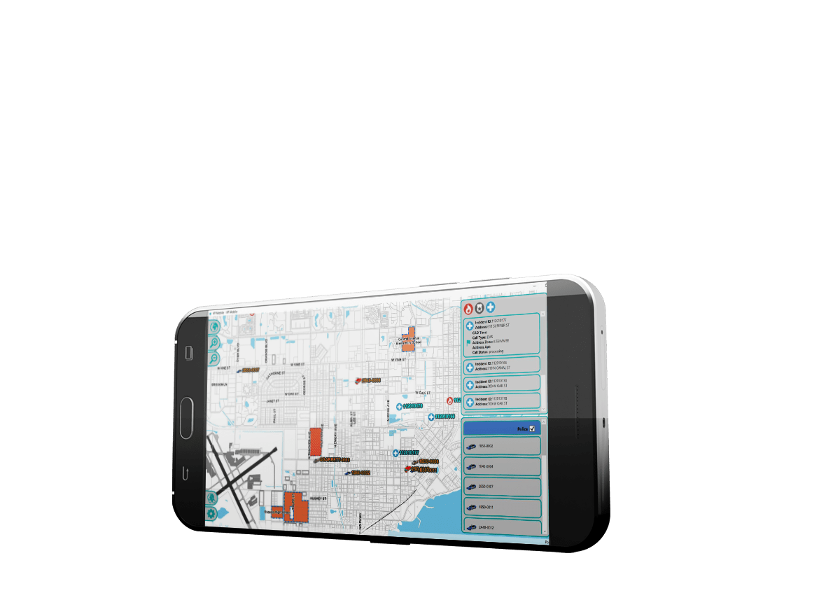
SafeCity Mobile is the latest breakthrough in mobile software solutions that allows users to access important GIS and 911-dispatch information. Active incidents, Automated Vehicle Location (AVL) units and specific user events are all within the Mobile interface. SafeCity Mobile was designed to have an easy-to-use user interface that can be driven via a touch screen or a mouse.


SafeCity Automated Vehicle Location (AVL)
SafeCity AVL: Real-Time Tracking of GPS-Enabled Vehicles and Devices. SafeCity AVL provides the ability to group unit types and capabilities with unique icons such as Police, Fire, EMS, Sheriff, K-9, Marine Unit, Special Patrol, Detectives, Command Staff, etc. Historical playback feature is also available by unit, date, and time.
SafeCity MapNimbus
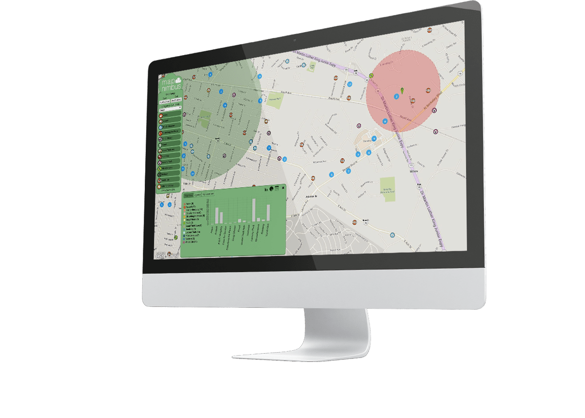
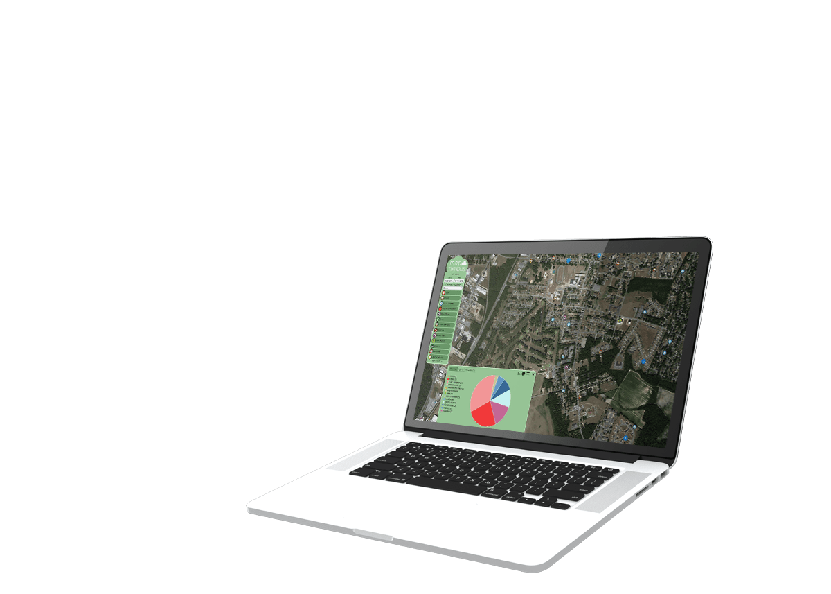
This dynamic web portal’s easy-to-use interface allows residents instant access to important, relevant, and comprehensive local government information such as Crime, Accidents, Warrants, Arrests, and Citations creating a more engaged and informed community. SafeCity MapNimbus provides residents the ability to sign up for automatic email notifications to be notified when an incident occurs within their home, work, school or any predefined location.

SafeCity GeoAdaptor
GeoAdaptor has the ability to automatically geocode and output GIS data layers from any non-spatial database.
Esri Software Configuration, Customizations and Deployment
Executive Dashboards
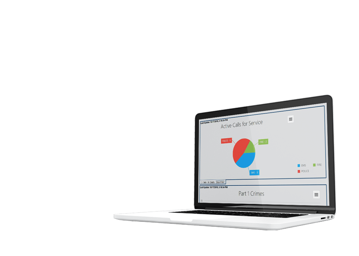
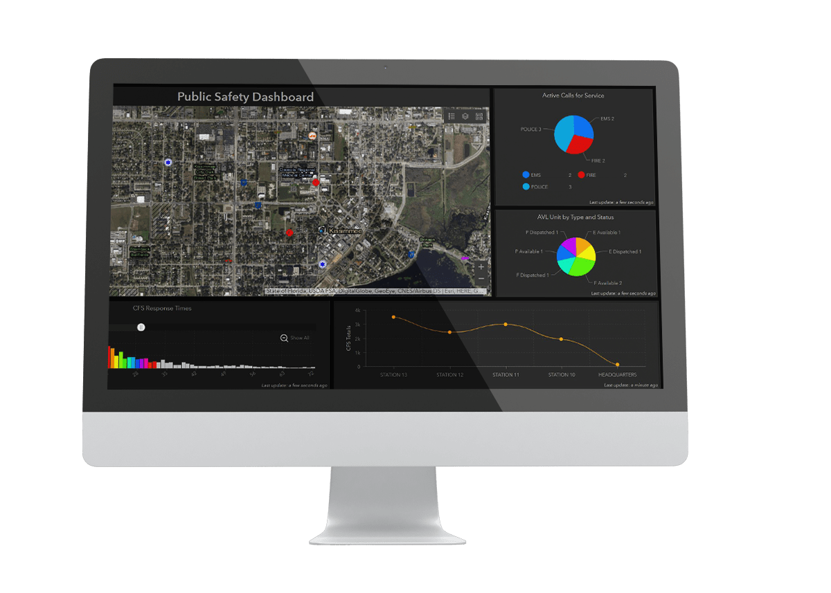
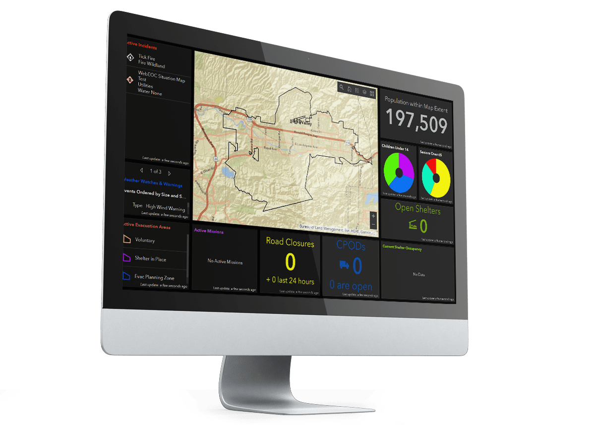
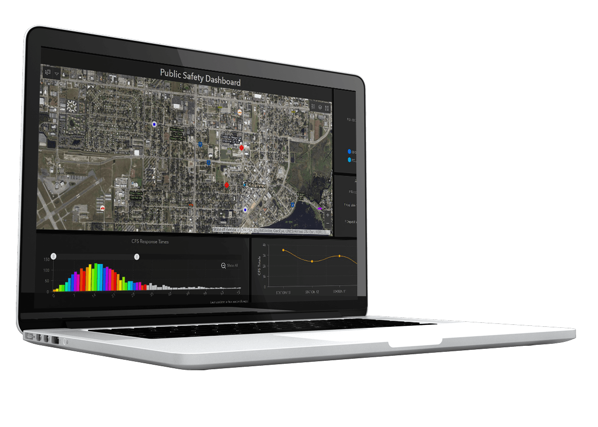
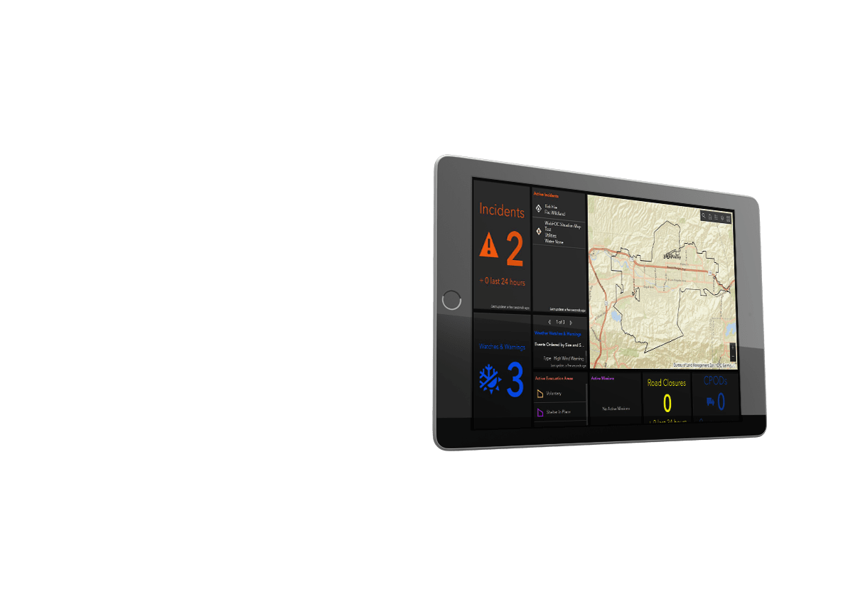
Dashboard gathers information from your RMS, CAD, AVL, Jail Management system, and more and displays mission critical data in an easy to read and real-time dashboard. In addition to customizing what you see in each screen, Executive Dashboards also creates interactive charts, graphs, and tabular data to meet every departmental need. You can share dashboards with your entire organization, and specific groups.
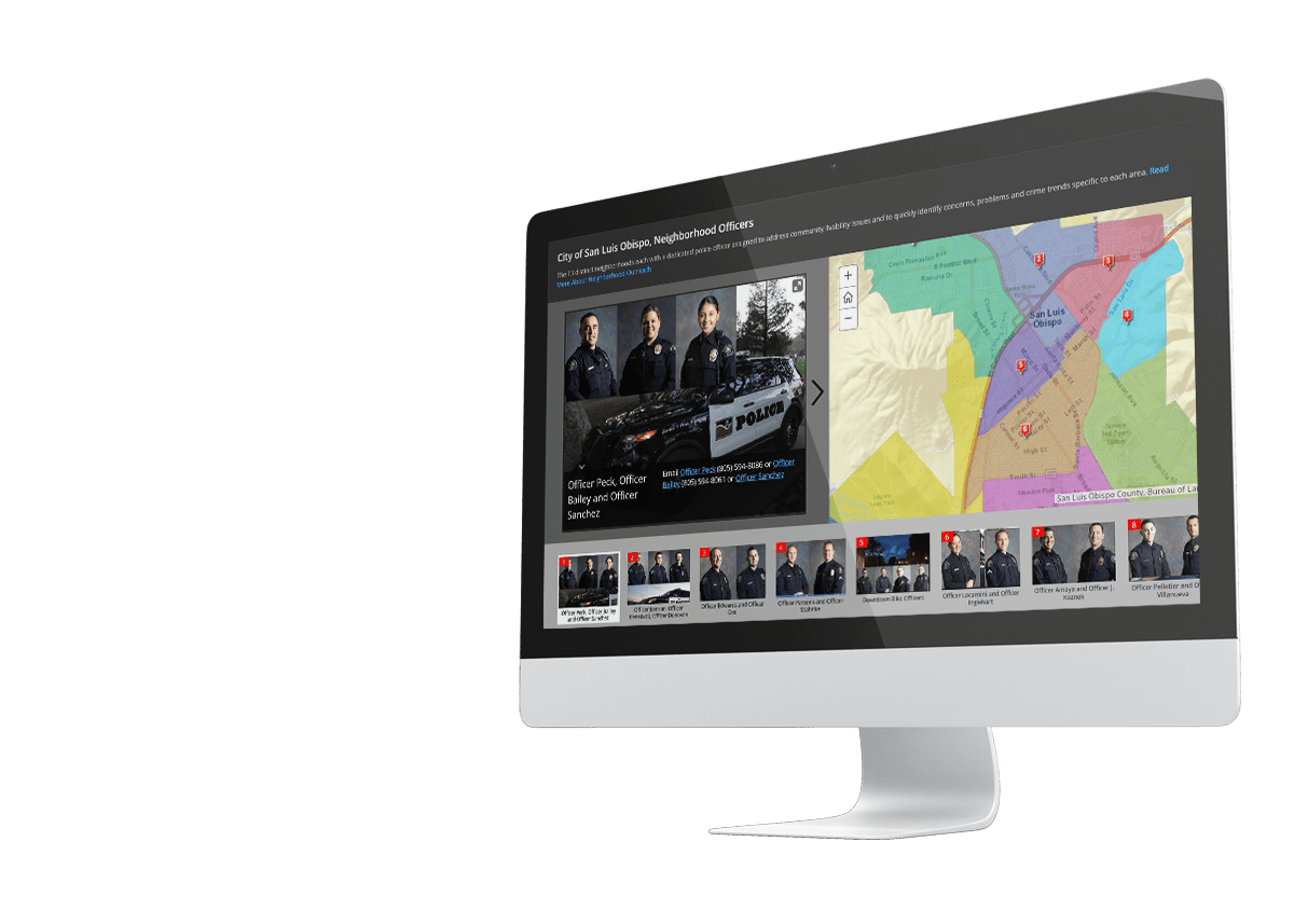
Story Maps
Introduce first responders, highlight stations and facilities, promote upcoming events, share safety, health, and preparedness tips, provide information on disasters, share stories of community involvement, ask for the public’s assistance in solving crime or addressing a problem.

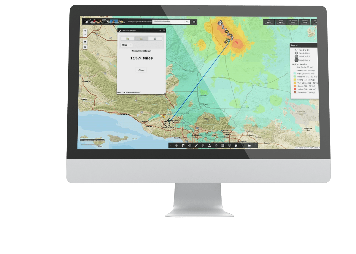

Safe City Center Common Operating Picture (COP)
Lightweight, incident mapping application that puts incident and GIS data in the hands of officers for a ‘quick view’ of what is happening real time. Streamlined and easy to use on any device, including desktop, laptop, tablets and smart phones.
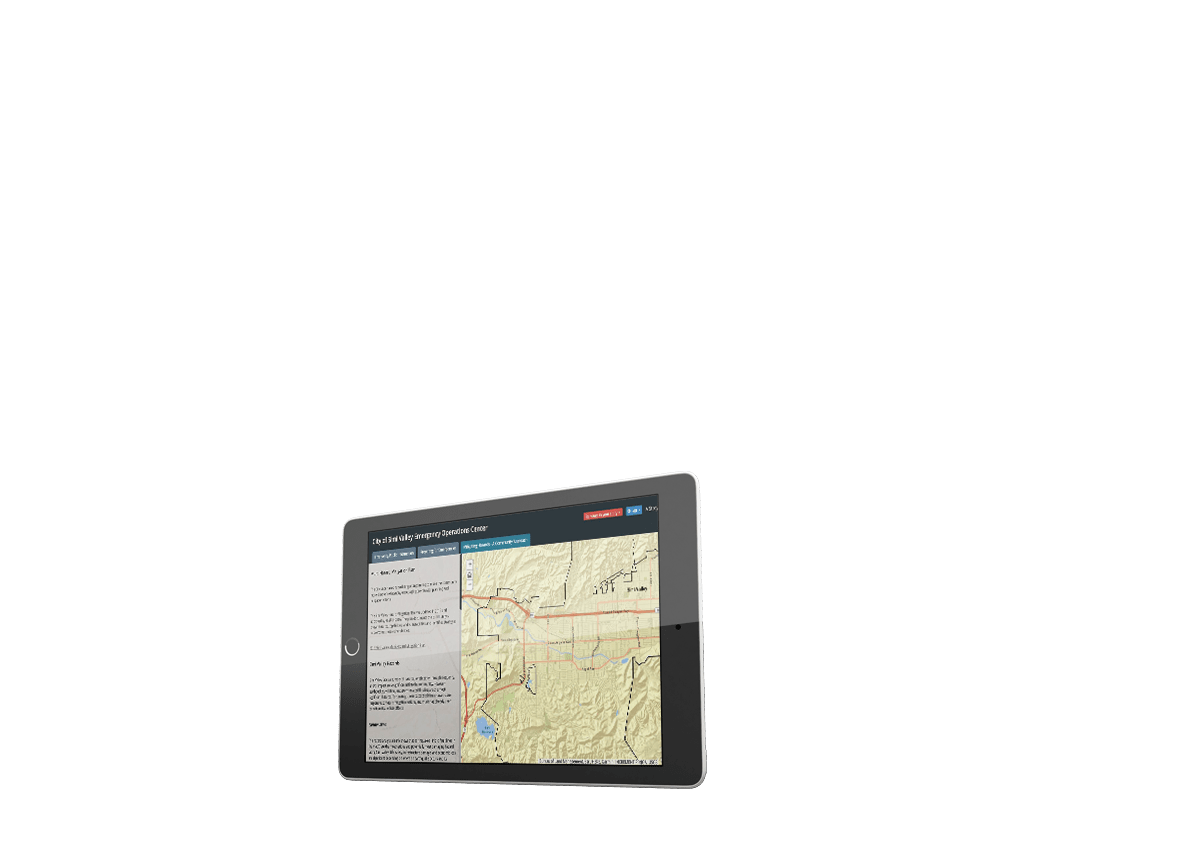
Safe City Damage Assessment Esri Collector
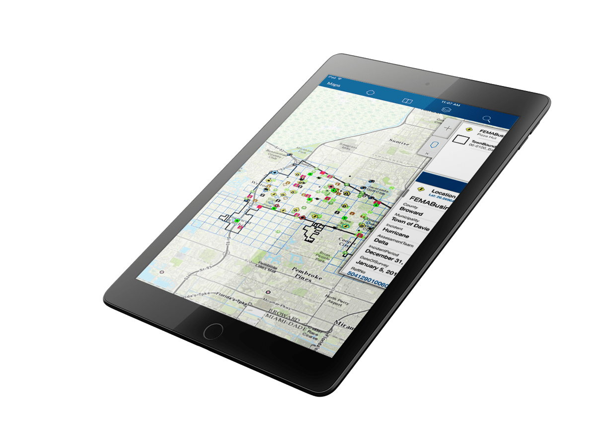
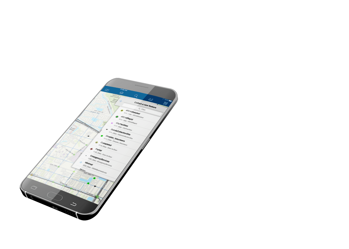
Collector App: Use in the field by damage inspectors and other field crew. In a connected environment, the Collector App provides real-time information back to the EOC during or post- disaster.
Emerging Esri Products and Solutions
